
Project Description
Sedimentary City: Western Creek Watershed
The forecast population increase for Brisbane, is for a doubling within the next twenty-thirty years, will significantly change the city and its neighbourhoods.
Increased population density in Rosalie-Milton will put further pressure on the relatively few existing public open spaces in the neighbourhood creating a case for a radical increase in the amount of open space for the future city.
What is your proposal for urban-places in a more populated and closely-packed city?
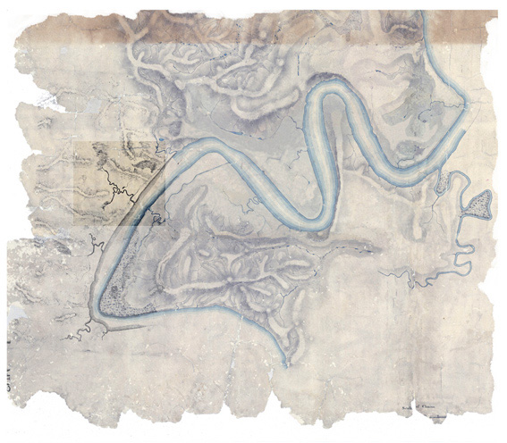
As part of the hypothetical scenario, for Sedimentary City, The Western Creek is to be reinstated and re-made as a linear landscape element in the watershed. This ‘day-lighting’ of the creek is proposed as ‘a first move’ in rethinking the opportunities for securing a larger landscape strategy over time a landscape that might also re-establish connections between community places and serve increased pedestrian movement.
The creek is a collection of rainwater from surface run-off that can at times be stored in cisterns to support an urban forest and city farm. In times of dry hot weather the creek bed could become an empty shallow swale with water remaining only in parts along its length. The water component of the creek bed is likely to vary seasonally along its length revealing its ‘ground-scape’ as part of the linear landscape linking the river and the Taylor Ranges.
The City Farm could expand to offer garden and orchard allotment leases to residents housed in medium density apartments in the neighbourhood. Together with an urban forest these landscapes could increase the amount and type of public open space in the city and contribute to reduce the extreme effects forecast as part of environmental change.
Sedimentary City: Urban and building design with landscape
The landscape design, the urban design and the design of the buildings in the Western Creek area are collectively to reinforce and demonstrate your proposition for the future layer of Sedimentary City:
i] to be a city selectively stitched together with a view to forming more habitable layers over time
ii] to reveal a conscious construction of a “ladder of relations” between things in the physical environment at ‘nested scales’ ie from room, to building, to site to location to the wider context.
The urban design component of the project and the proposed evolution of development is to be demonstrated at three scales – the scale of the catchment, from Rosalie Village to the River and at the scale of neighbourhood of the selected sites at Kilroe Street. Properties in this last territory are likely to become available for re-development within the next twenty-five years and may be identified as suitable sites for selective transformation in the next layer of Sedimentary City. These are to be annotated in the urban design plan.
The urban design proposal would primarily account for general broad-scale aspects including current and phased: consolidated linear landscape, the extent of the creek and its banks, pedestrian / cycle paths, connection with associated territories, public amenities available to all citizens (common land) etc. In the zone between Milton Road and the Brisbane River include, in addition to the former aspects, the current and phased: figure-ground development, lot sizes,
The urban design is also to propose the context for the Culture and Food Exchange sites in 2010 and for 2030.
|
Student project work pdf's:
'Western Creek Watershed'
Katrina Torresan Team 7 pdf
|
